7/27/2012, Interstate 5, mile 1,726.5, 5.5 miles traveled.
Sarah dropped me off at the Ashland Inn at 7:30 am, and I trotted down the trail towards Interstate 5. We met RattleBee, who was appalled that I didn’t have to carry a pack. Sarah hiked up from the Interstate and we approached the car together. Knowing RattleBee was waiting at our car for a ride into Ashland, I handed Sarah my trekking poles and let her go first. RattleBee howled in disgust when Sarah told him I had given her the poles because they were too heavy. We took RattleBee and Analog into town, then returned to my parents’ house anticipating a restful weekend.
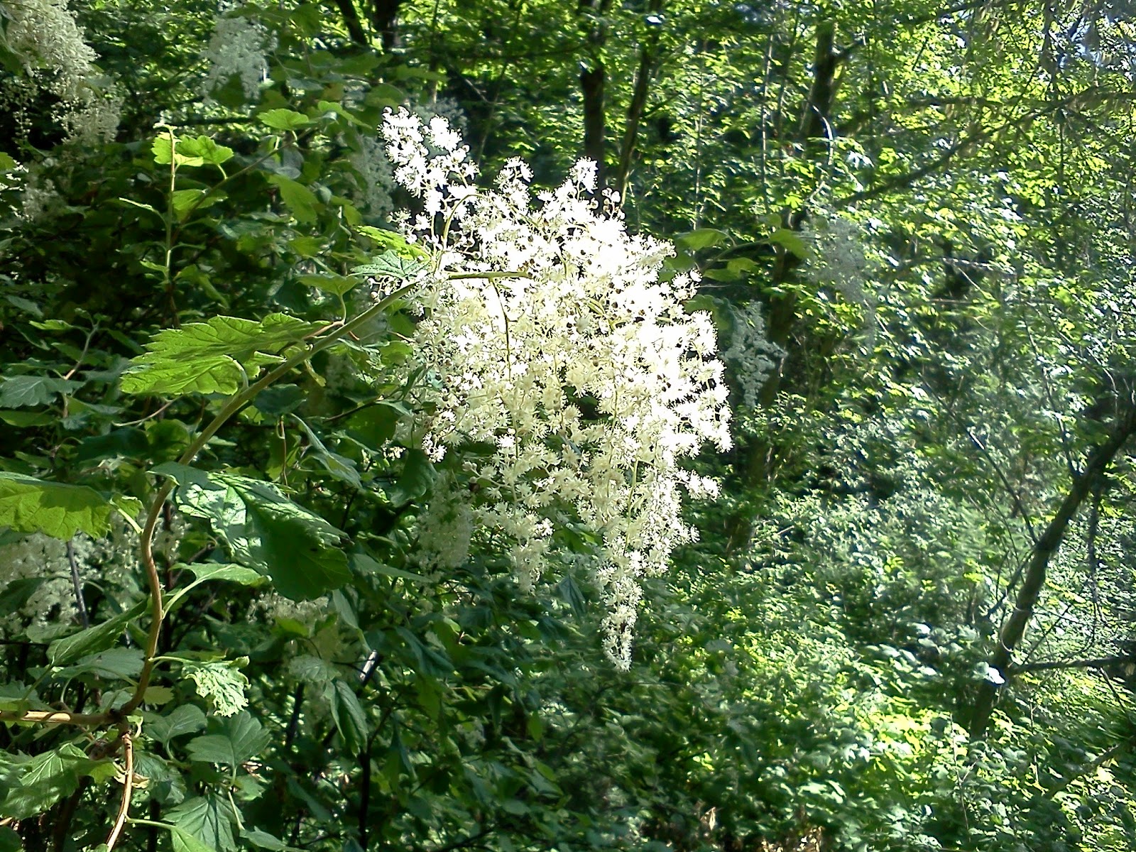
White blossoms near Siskiyou Summit.
7/26/2012, Ashland Inn, mile 1,721.0, 21.5 miles traveled.
We continued along the spine of the Siskiyou Mountains as they curved eastwards towards Mt. Ashland and Pilot Rock. Clouds moving in from the southwest embellished views of Mt. Shasta to the south and views northwards into the Rogue River Valley. We enjoyed mild gradients, and stopped to talk with several parties of day and section hikers going the other direction. Mom and Dad met us near the Ashland Inn with a wonderful picnic. We decided to spend the night with them and finish the last few miles to Interstate 5 the next morning. I was very proud of Sarah for hiking over 20 miles a day over some very tough terrain.

Bear grass? and view north from the Siskiyou Mountains.

White flowers carpet the forest, Siskiyou Mountians.

Mt. Ashland, 7,532 ft., and Pilot Rock (distant right), 5,908 ft.

Snake near Mt. Ashland.

Mt. Shasta from the north face of Mt. Ashland.

My parents providing savory picnic near Mt. Ashland Inn.
7/25/2012, past Oregon border, mile 1,699.5, 20.5 miles traveled.
We continued along the spine of the Siskiyou Mountains all day. The trail went north-east. We could see Mt. Shasta, now to the south of us. Water became somewhat of an issue during the first half of the day. There were no creeks, and the springs were off the ridge top. Most were difficult to locate, and tended to be muddy seeps, well trodden by cattle. We enjoyed talking with an old cowboy who was doing trail maintenance. He rode a horse, and led a couple of mules. He had been seriously injured the previous year when his animals were startled by a hiker. He informed us that the best way to act when we encountered stock on the trail was to talk so they know that we are people, and to move down hill off of the trail. It is best, he said, not to leave your packs by the trail because they also scare horses and mules. We were very happy to finally reach the Oregon border. I now have a true appreciation for how large California is! We enjoyed the sunset from our camp on the edge of a clearing just past the border.

Mt. Shasta from near the Oregon-California border.

Klamath National Forest near Oregon-California border.

The Oregon-California border, mile 1,699.

Sunset from near the Oregon-California border.
7/24/2012, Copper Butte trail junction, mile 1,679.0, 17.0 miles traveled.
We continued our road walk and began a 5,000-foot ascent into the Siskiyou Mountains. When we reached Lower Devil’s Peak, Honoh surprised us by handing us a huge breakfast burrito he had lugged up the mountain. We ate it on the spot, and waddled on upwards past the Middle and Upper Devil’s Peaks. I enjoyed seeing madrone trees, with their reddish, peeling bark. At dusk, I saw my first black bear of the trip. We were in steep terrain, trudging onward and looking for a flat spot on which to camp. I heard a loud crunch. About 50 yards downhill, I saw a lanky black bear tearing apart a rotten log. Even though it was down wind, it paid no attention to me. It climbed up a ravine, crossed the trail about 200 feet in front of me, and continued climbing. It stopped whenever it encountered a rotten log to tear apart. We found a flat spot about 30 minutes later and melted into our mattresses, tired from the long climb.

Madrone tree, Siskiyou Mountains.

Looking back at the Seiad Valley and Klamath River.

Looking back at Lower Devils Peak, 5,081 ft. and Seiad Valley.

Lily Pad Lake and Red Buttes, 6,739 ft., Klamath National Forest.
7/23/2012, Seiad Valley, mile 1,662.0, 21.0 miles traveled.
We hiked through an old burn on Huckleberry Mountain, and then began a long descent along Grider Creek towards the Klamath River and Seiad Valley. I enjoyed encountering several plants I was familiar with from my childhood in Oregon, including thimble berries, strawberries, black berries, Oregon grape, sword ferns, rhododendrons, and Douglas Fir trees. We bathed in ice-cold Grider Creek and then began a long road walk into Seiad Valley. We resupplied at a small store, and enjoyed some huge lilies that a lady was selling on the roadside. We spent the night at an RV park that charged $10 per person, and had a nice visit with Crow, Honoh, Paul, and Wasabi.

Grider Creek, Klamath National Forest.

Klamath River from Highway 96 bridge.

Lady selling lilies in Seiad Valley.
7/22/2012, Buckhorn Springs, mile 1,641, 21.0 miles traveled.
We began the day with steep ups and downs as the trail regained the ridge, dropped down near Man Eaten Lake, and then sought the ridge-top again. We then enjoyed impressive scenery as we approached the Marble Mountains. Sarah noticed that we could see the Pacific Ocean some 70 miles distant. We dropped into Little Marble Valley for lunch, and then regained the ridgeline where the gradient finally mellowed. In the late afternoon, we crossed a saddle just before someone began herding his cows across it. Crow wasn’t so fortunate, and had to wait for the cows to cross. She saw a black bear following the cows. We found water at Buckhorn Springs and camped under a huge fir tree.

Marble Mountain Wilderness, Klamath National Forest.

Looking east towards Mt. Shasta from the Marble Mountain Wilderness.

Man Eaten Lake, Marble Mountain Wilderness.

Marble Mountain, 6,881 ft. and Black Marble Mountain 7,442 ft.
7/21/2012, Creek, mile 1,620.0, 23.0 miles traveled.
I continued along the spine of the Klamath Mountains where I encountered a few snow patches, and then descended to the Etna Summit. Mom and Dad brought more food and dropped Sarah off. We began hiking into the Marble Mountain Wilderness. The trail remained rugged throughout the day. Sarah held up well even though the afternoon was hot and we were stuffed from our picnic. Later, we enjoyed ham sandwiches, boiled eggs, and banana bread for dinner. We descended from the ridge into Shelly Meadows, and found a nice campsite near a creek at the base of a steep snow patch. Sarah woke me after she heard snorting sounds near the tent. It turned out to be a buck, within 15 feet of us, who was snuffling around in the dirt where I had peed, apparently after the salt. It was fun having such a close view. It raised its head every few seconds to look around. It bore the weight of a large set of antlers still in velvet.

Paynes Lake, Russian Wilderness.

Snow covering trail near Etna Summit.
7/20/2012, Statue Creek, mile 1,597.0, 27.0 miles traveled.
Sarah and I parted ways in the morning. She would see me two days later when my parents were to drop her off at the Etna Summit so she could hike with me from there to Ashland. I enjoyed expansive views as the trail kept to the spine of the Klamath Mountains through the Trinity-Alps and the Russian Wilderness. I could see a snow-covered range of mountains to the west that someone said were the Thompsons. The trail was steep with many short ups and downs. I enjoyed hiking with Analog for the last four miles of day. We finally found some flat ground to camp on near Statue Creek.

Trinity Alps Wilderness.

Big and Little Marshy Lakes, Trinity Alps Widerness.

Looking north towards Callahan from the Klamath Mountains.

Thompson Mountains? from the Trinity Alps Wilderness.

Butterflies on stream bank, Trinity Alps Wilderness.

Little Jackson Lake and Mt. Shasta from Trinity Alps Wilderness.
7/19/2012, near Trinity-Alps Wilderness boundary, mile 1,570.0, 24.5 miles traveled.
Refreshed from our day off in Weed and a feast provided by my parents, Sarah and I drove back to the Parks Creek trailhead. I started hiking at 7:50 am, and Sarah began driving to the Scott Mountain trailhead in order to hike back towards me. During her drive, she encountered a big rock in the road and a washed out section, but was able to negotiate them. She also saw some interesting signs marking historical roads. The weather was cool and pleasant. The trail gradients were easy and the bugs had apparently been knocked down by the cold weather. It was disconcerting however, to see Mt. Shasta over my left shoulder for much of the day as the trail wound southwards. I met an Alaskan guy with a mule who intended to travel 500 miles this summer. He told me of a black bear that followed him for several miles and a mountain lion that scared his mule. I met Sarah about 6 miles before the Scott Mountain trailhead, and we hiked together past that trailhead and into the Trinity-Alps Wilderness. We stopped at the car on the way and enjoyed the remainder of the food brought to us in Weed by my parents. Our dining was interrupted by shooting at a nearby campground. I can’t understand how anyone would think shooting at a public campground and trailhead is appropriate.

Boulder blocks Highway 17 (Sarah).

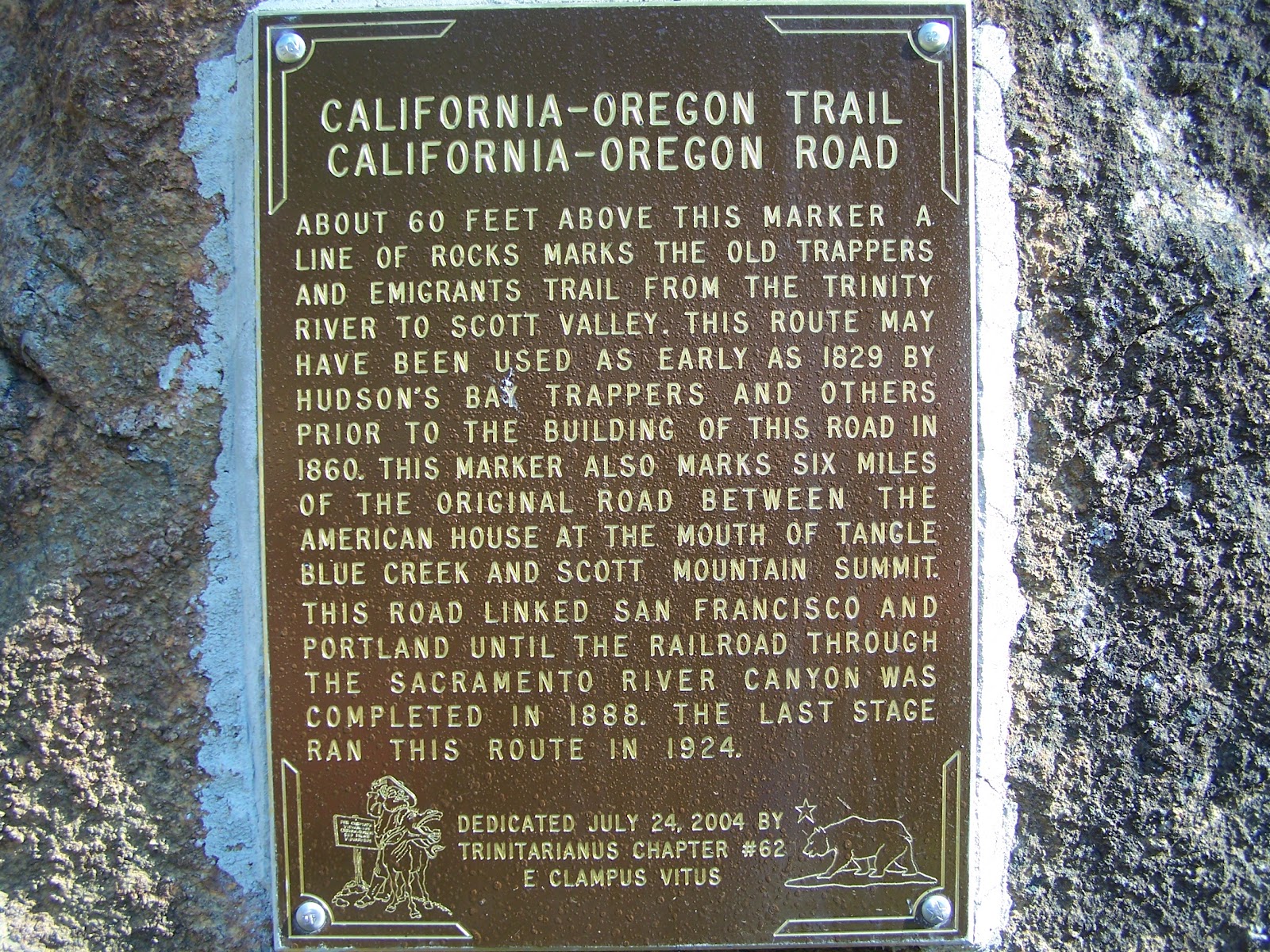
Historical signs near Mt. Scott trailhead, Klamath National Forest (Sarah).

Mule skinner from Alaska, Scott Mountains.

Bull Lake, Scott Mountains.

Pacific Crest Trail Blaze common in Northern California.

Scott Mountains, Klamath National Forest.

Looking west from the Scott Mountains.

Mountain Laurel?, Klamath National Forest (Sarah).

Tiger lily, Klamath National Forest (Sarah).