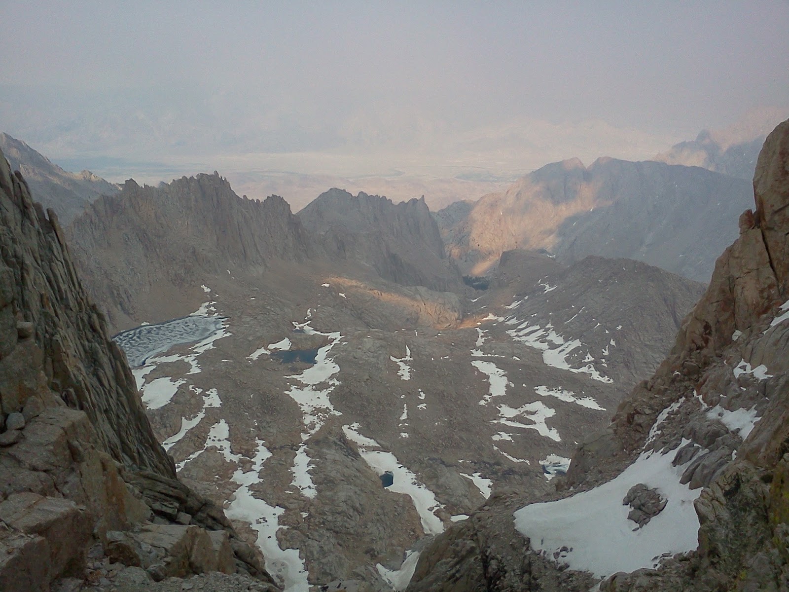
Central California, through the high Sierras to Lake Tahoe
6/28/2012, Echo Lake, mile 1,094.5, 16.0 miles traveled.
Sarah dropped me and Honoh off at Carson Pass at 8:45 am. After a short climb, I got my first glimpse of Lake Tahoe. There aren’t many good views of the lake from the PCT. On the climb toward Showers Lake, I met a lady named Peru who had hiked the Appalachian Trail last year and the year before. We had a nice conversation. She has a graduate degree in plant systematics. I enjoyed learning about blue-eyed grass. We met Sarah at about 1:00 pm, and made it to Echo Lake Resort at 3:10 pm. Honoh bought us both milk shakes and other treats, and continued on into the Desolation Wilderness. Sarah had talked with my mom and dad on the phone earlier. They had asked if Sarah planned to continue running support for me rather than resume hiking. We hadn’t considered that possibility, so we discussed it on and off for the rest of the day. Sarah is concerned about slowing me down. If she met me with the car at frequent intervals, I would be able to carry less weight and therefore travel farther each day. If she hiked with me, I would have to carry more weight than usual in order to even our paces up, like I did in the High Sierras, and the effort per mile would be much higher. We decided to give the support option a try. I have enjoyed meeting Sarah for the last few days, and hiking the last few miles with her. She always has interesting news about who she met on the trail. I rarely meet other thru-hikers, but she sees several every time she hikes southward on the trail. I just hope she can still have fun. I think she will enjoy a more flexible schedule rather than having to grind out 16 miles every day.

Honoh.

First glimpse of Lake Tahoe.

Meiss Meadow and homestead.

Jay falling victim to a rock shark.
6/27/2012, Carson Pass, mile 1,078.5, 10.5 miles traveled.
Sarah dropped me off at the Tamarack Trailhead at 7:30 am. It was 32˚F, but calm and clear. I climbed past a volcanic peak called “The Nipple,” and dropped into a cirque at the base of a ridge called “The Elephant’s Back.” I was dismayed to hear shooting ahead. The din of multiple types of firearms continued for over an hour as I approached closer and closer. I finally passed the party of gun-happy men. They were within 50 yards of the PCT. I met Sarah at the base of the climb toward the Elephant’s Back. We ate lunch, and then climbed to the top of the ridge. There, we were happy to see Honoh, a thru-hiker we last visited with at the Vermillion Valley Resort. He took us up on our offer, and came home with us to shower, do laundry, eat, and resupply. I reported the shooting to a ranger at the trailhead, but he didn’t seem inclined to do anything about it.

Lost Lakes

Upper Blue Lake and Forestdale Divide.

Blooming phlox on trailside.

Persistent whitebark pine and Lower Blue Lake.

Volcanic outcrop with orange lichens.

The Elephant’s Back, 9,685 ft., complete with white tusks.
6/26/2012, Tamarack Trailhead, mile 1,068.0, 18.0 miles traveled.
After a refreshing zero day, Sarah dropped me back at Ebbetts Pass at 8:00 am. It was a beautiful hike past more hoodoos. I met Billy Goat coming the other way. He is in his 70’s, and is hiking the PCT for the ninth time. He informed me that Raisins was just ahead of me. I had met Raisins on the Appalachian Trail the year before, and would have liked to see him again, but I knew I wouldn’t catch him. Sarah left the car at the Tamarack Trailhead and hiked south to meet me. We enjoyed hiking back to the car together, and reached it at 3:00 pm.

Unnamed butte in front of Reynolds peak.

Reynolds peak, 9,679 ft.

Raymond Peak10,014 ft.

Looking north to the Carson Valley from the north face of Raymond Peak

Looking northwest up the trail to The Nipple, 9,342 ft.
6/24/2012, Ebbetts Pass, mile 1,050, 25.0 miles traveled.
I awoke in the middle of the night to the feel of cold metal across my throat. My tent had collapsed from a strong wind gust, and one of the supporting trekking poles had landed on my neck. I put the tent back up, and slept poorly for the remainder of the night. I began hiking at 6:15 am, and soon climbed out of the Carson River Canyon. I marveled at countless bizarre volcanic outcrops. I phoned Sarah and arranged to be picked up at Ebbetts Pass that night. We decided that I would come home and complete the remaining distance to Echo Lake in a series of three day hikes. This would allow me to enjoy the amenities of our house in Gardnerville, Nevada, and give Sarah a little bit more time to recover.

Boulder Peak, 9,393 ft.

Noble Lake and Tryon Peak, 9,870 ft.

Hoodoos at head of Noble Canyon.
6/23/2012, East Fork Carson River, mile 1,025.0, 25.5 miles traveled.
I slept poorly due to the cold. I began hiking at 6:15 am, and soon passed the 1,000 mile marker. I stopped and put duct tape on the middle toe of each of my feet because the new shoes were creating hot spots there. The wind was fierce. I was concerned about the long exposed ridge walk that was required to reach Sonora Pass. I put on all of my clothes and raingear just before I reached the ridge top, including an extra pair of socks on my hands. It was a long walk in the cold wind. It was particularly fierce as I passed through a notch in the ridge. I had to crouch and run in order to stay on my feet. I was glad the wind was from behind me. I hiked with Steve, a dentist from southern California, on the descent to Sonora Pass. He kindly gave me his extra food because his section hike was ending there. I was concerned when I found there was no phone reception at the pass. I would need to reach Daniel soon in order to change the rendezvous location. I continued north through a beautiful area decorated by volcanic rocks of many colors. These hoodoos provided quite a vivid contrast to the smooth grey granite that had predominated in Yosemite. I camped near the East Fork Carson River at 7:15 pm. It was very cold and windy, but at least there were no mosquitoes.

Informal one-thousandth mile marker on PCT.

View south from ridge before Sonora Pass.

Looking north on ridge before Sonora Pass. PCT goes through notch on left.

Lotopie Lake.

Hoodoos north of Sonora Pass.
6/22/2012, Harriet Lake, mile 999.5, 26.0 miles traveled.
I began hiking at 6:00 am. I crossed three steep granite ridges, each about 800 feet high, and finally reached Long Jack Canyon which led me to the northern boundary of Yosemite National Park. The temperature dropped to 41˚F by evening, and there was a strong southwest wind. I crossed Dorothy Pass in the evening and descended to the outlet of Harriet Lake to camp at 8:00 pm. By then, my lower back was feeling tired, and my feet were sore from the rocky tread.

Pond on approach to Seavey Pass.

Common tread in Yosemite backcountry.

Macomb Ridge. Trail ascends diagonally from right to left along line of trees.

Bigelow Peak, 10,539 ft., on northern boundary of Yosemite National Park.

Dorothy Lake and Forsyth Peak.
6/21/2012, Past Benson Lake Junction, 973.5, 24.5 miles traveled.
I started hiking at 7:00 am. The trail led up Cold Canyon, and then crossed a couple of steep granite ridges separated by Matterhorn Canyon. The mosquitoes were fierce whenever I was near water. At the end of the day, I descended into a small canyon where a trail led to Benson Lake. There were so many blown down trees, that I lost the trail for a while. It was impossible to go around the blow-downs because there were so many piled on top of each other. Hordes of mosquitoes attacked me as I fought my way through limbs and over the fallen trunks. I eventually regained the trail and climbed to a small bluff where I pitched my tent at 8:15 pm. I was startled when I noticed a deer within 20 feet of me. It was completely tame, and remained there even as I hammered my tent stakes into the ground. I decided that I would try to continue hiking 25 miles per day. That would allow me to reach Ebbetts Pass, saving Daniel several hours of driving time during our next rendezvous.

Ascending Cold Canyon.

View up Matterhorn Canyon

Matterhorn Creek.
6/20/2012, Past Glen Aulin, mile 949.0, 11.0 miles traveled.
We awoke to the clinking of bells as a mule train passed by. A park ranger greeted us as we started down the trail. She checked our permits. We had purchased them from the Pacific Crest Trail Association. A single permit allows entry into all of the parks and wilderness areas along the trail. The ranger informed us that it was illegal to camp within four miles of Tuolumne Meadows. We had camped about 200 yards too close. She let us off with a warning. I wondered why they hadn’t put a sign up informing hikers of that rule. As Sarah and I approached Tuolumne Meadows, we decided it would be best for her to take a few days off from the trail and heal her feet. She rode out with Daniel after her delivered me some new shoes and enough food to make it to Sonora Pass. He would bring Sarah and more food to Sonora Pass when I reached it. In the afternoon, I set off alone into the northern part of Yosemite, a notoriously rugged section of the PCT. I was now carrying the JAM 35-Liter pack instead of the frame. I left the bearvaults with Daniel since they were not required north of Tuolumne Meadows. I camped a little ways past Glen Aulin. While looking for a branch on which to hang my food bag, I noticed that every tree near my tent had claw marks running all the way up them. I found a tree 100 yards away that didn’t appear to have been climbed, and hung the bag in it. The bag held four days worth of food. I would need to travel 17 miles per day to reach the next resupply in time.

Morning mule train in Tuolumne Meadows.

Cathedral Peak and Tuolumne River.

Tuolumne River Canyon.

Tuolumne Falls.
6/19/2012, Tuolumne Valley, mile 938.0, 15.5 miles traveled.
It was a very windy night. Sarah didn’t get much sleep because the tent wall kept flapping against her. She also discovered blood blisters between several of her toes. It seems that because her shoes had a Gore-Tex liner, they were too hot. Her feet swelled up and the pressure resulted in blisters. The only solutions we could think of were to punch holes in her shoes to allow ventilation, and to replace them with breathable shoes as soon as possible. We reached Donohue Pass, 11,056 ft, at noon and enjoyed watching the marmots scamper around while we ate lunch. We then entered Yosemite National Park and descended past Lyell Fork in a beautiful cirque below Lyell glacier down to the floor of Tuolumne Valley. We walked down the valley far enough to get phone reception and camped about 80 yards off the trail on a flat granite slab. Daniel agreed to bring me shoes the next day.

Banner Peak and Thousand Islands Lake.

Approaching Donohue Pass.

View north from Donohue Pass, 11,056 ft., southern boundary of Yosemite NP.

Lyell Fork and Lyell Glacier.

Tuolumne Meadows.
6/18/2012, Thousand Islands Lake, mile 922.5, 15.0 miles traveled.
Today we saw massive wind damage as we hiked through Devils Postpile National Monument. Many of the fallen trees appeared to have been rooted in unstable pumice. We saw one tree that had fallen on a metal fence post. The post, still standing, pierced clean through the tree trunk. At the monument, the John Muir Trail and the PCT split for several miles. We met a young man that had taken the John Muir Trail through the blow downs. He said he was afraid for his life, climbing through tangles of trunks, not even touching the ground for several miles. We were grateful that the PCT had been cleared. We climbed along the San Joaquin River and enjoyed views across the canyon of the Ansel Adams Wilderness Area. We eventually made Thousand Islands Lake, and pitched our tent on a slab of granite in the wind to evade the mosquitoes. My shoe repair worked well! My left foot felt much better.

Shoe repairs.

Devastation from wind storm on 11/30/2011 in Devils Postpile National Monument.

Many of the fallen trees were rooted in unstable pumice.

Tree that fell on fence post.

Shadow Lake in the Ansel Adams Wilderness Area.

Banner Peak.

Approaching Banner Peak and Thousand Islands Lake.
6/17/2012, Middle Fork San Joaquin River, mile 907.5, 17.5 miles traveled.
Today we descended to a large burn in Reds Meadow. There had been a huge windstorm last November, which blew down thousands of trees in the area. Fortunately, almost all of the PCT had been cleared by the time we reached that area. We met a Student Conservation Corps trail crew led by a U.S. Forest Service boss. They were sawing through huge blown down old-growth trees with cross cut saws, and rolling the logs off of the trail with a pike. We passed by hundreds of blow-downs that had been removed in such a manner. I was amazed at the effort that had been expended in clearing the trail. Sarah was feeling much better, but I was feeling run down. After setting up camp, I worked some more on my left shoe. My left foot was sore from the lack of support. I used Sarah’s Swiss Army knife to punch holes in the leather, and sewed the uppers with a spare shoe-lace.

Pond south of Lake Virginia.

Lake Virginia.

Student Conservation Corps trail crew clearing blow-downs with hand tools.
6/16/2012, Virginia Lake, mile 890.0, 14 miles traveled.
After a nice breakfast and a ferry ride back to the trail, we began our ascent towards Silver Pass at 9:30 am. With the resupply, my pack was back up to 30 pounds. We were carrying four days worth of food, intent on reaching the store at Tuolumne Meadows before we ate it all. We crested Silver Pass, descended past several small lakes, hiked through Tully Hole, and made another steep ascent to a pond before Virginia Lake. Sarah felt better than usual at the higher elevations. We got water and back tracked to a breezy ridge in a futile attempt to evade the mosquitoes. We camped at 8:00 pm. The duct tape repair on my left shoe wasn’t working. I would have to think of something else.

Bear-clawed tree.

Ford of North Fork Mono Creek.

Falls on Silver Pass Creek.

Approaching Silver Pass.

View south from Silver Pass, 10,900 ft., with Silver Pass Lake.

View north from Silver Pass, 10,900 ft.

Chief Lake.
6/15/2012, Vermillion Valley Resort, mile 877.0, 12 miles traveled.
Intent on reaching Lake Edison by 4:45 pm to catch the ferry to Vermillion Valley Resort, we began hiking at 7:30 am. During our ascent of Bear Ridge, we were both startled by a large salamander as it charged under our feet towards a creek we had just crossed. It was grey, and about 8-inches long. At first I thought it was a rat headed for my pant leg. Clouds built all day, and it rained on us as we waited for the ferry. At the resort, we enjoyed eating with fellow thru-hikers Honoh, Not-A-Chance, and Croatian and bantering with Olive, the feisty waitress. I’m afraid I made a pig of myself – ordering two entrees and two deserts. Sarah and I luxuriated that night in a travel trailer which we rented for $95.

Western juniper (also Sierra juniper) and hugger.

Aspen grove

Mono Creek.

Ferry to Vermillion Valley Resort across Lake Thomas A. Edison.
6/14/2012, Bear Creek, mile 868.0, 17.0 miles traveled.
We started hiking at 7:15 am. It was a warm day, and the mosquitoes were out en force. We waded Evolution Creek without incident and continued following the creek as it plunged through a series of falls into the South Fork San Joaquin River. We enjoyed hiking beside the San Joaquin to Paiute Crossing where we exited Kings Canyon National Park. We then made the long ascent to Selden Pass where we were greeted by hordes of mosquitoes. We fled down past Marie Lake and ended the day by fording Bear Creek. It was low enough to pose no problems, and we made camp near its far shore at 7:00 pm.

Evolution Creek plunging toward the South Fork San Joaquin River.
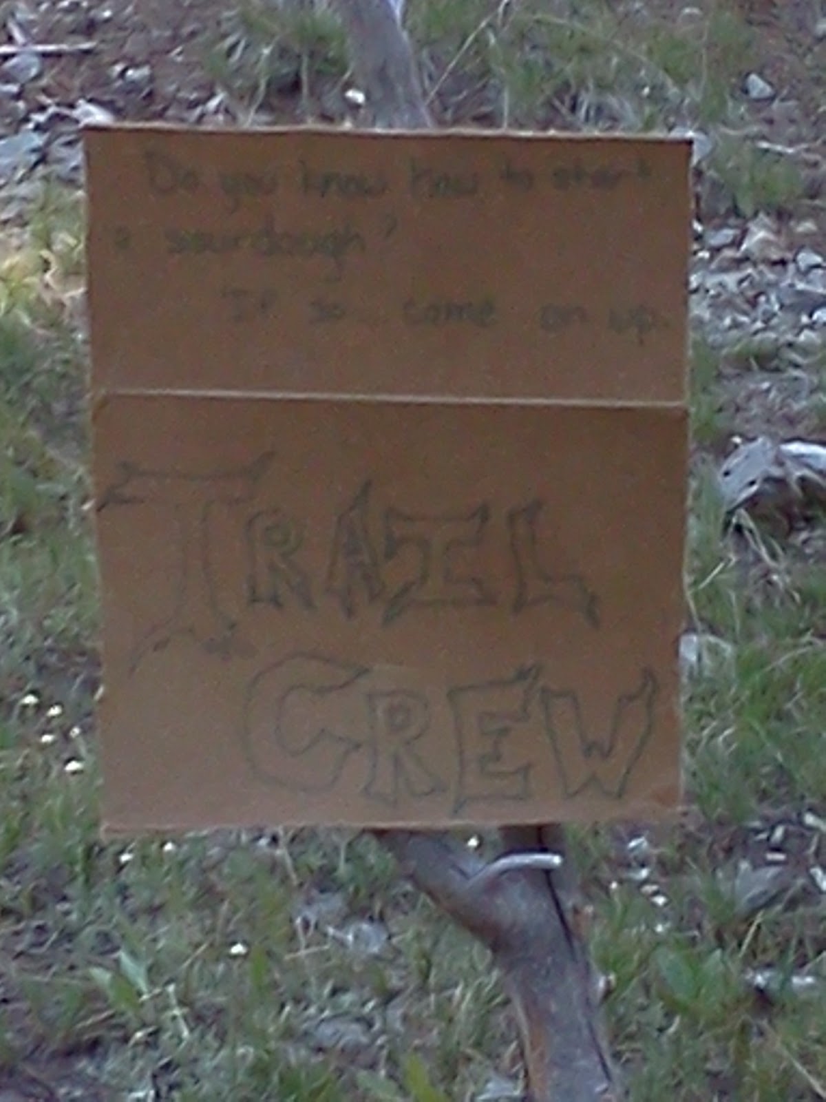
Sign near trail crew camp soliciting help starting sour dough.

South Fork San Joaquin River.

View north from Selden Pass, 10,900 ft. with Marie Lake.

View south from Selden Pass, 10.900 ft. with Heart Lake.

Ford at Bear Creek.
6/13/2012, Evolution Creek, mile 851.0, 15.5 miles traveled.
We awoke to a calm, clear morning and continued our ascent toward Muir Pass. We enjoyed spectacular scenery, including the partially frozen Helen Lake. We felt fortunate for the low snow year, and only had to cross a few snow patches. We checked out the Muir Hut when we reached Muir Pass at 10:30 am. We continued our traverse above tree line past several lakes in Evolution Basin. We felt desperately dirty enough to bathe in the frigid waters of Evolution Lake. We spent the remainder of the day descending beside Evolution Creek, and camped before the ford, putting off the wade until the next day.

Headwaters of the Middle Fork Kings River.

Approaching Muir Pass along Middle Fork Kings River.

Black Giant, 13,330 ft.

Sarah traversing snow field.

Helen Lake with partial ice cover and Mt. Warlow, 13,206 ft.

Muir Hut at Muir Pass, 11,955 feet, built in 1931; and Mt. Solomons, 13,034 ft.

Ceiling of Muir Hut.

Hearth in Muir Hut.

View north from Muir Pass, 11,955 ft. with Lake McDermand and Wanda Lake.

Sapphire Lake and Mt. Spencer, 12,437 ft.

Evolution Lake looking north.

Evolution Lake looking south.
6/12/2012, Before Helen Lake, mile 835.5, 16.5 miles traveled.
We spent today approaching Muir Pass, intent on camping as close to it as possible without sleeping at too high of an altitude. This would allow us to traverse the 10 miles above tree line on Muir Pass early the next day so as to reduce the chance of being caught in an afternoon thunder storm like we had been three years ago. We began hiking at 6:15 am and descended to Palisade Lakes. We followed the east shorelines, shivering in the shade as we watched the sunlight hitting the west side of the canyon. We then descended the Golden Staircase, a series of switchbacks that comprised the last segment of the John Muir Trail to be constructed. We descended Palisade Creek to its confluence with the Middle Fork Kings River at 8,000 ft. On the way, we met a Trail boss, a trail crew member, and an archaeologist headed the opposite way. They informed us that the Park Service was reconstructing the Le Conte Ranger Station. They were having materials flown in by helicopter. We saw several loads flown in as we ascended the Middle Fork Kings River toward Muir Pass. Sarah was feeling especially bad as we climbed at the end of the day. We made camp near a creek about a mile before Helen Lake at about 11,000 ft. My left shoe was beginning to fall apart. I had worn the light running shoes to drive in, and had forgotten to change into my regular hiking shoes at the trailhead. I wrapped duct tape around the shoe, hoping it would last until Daniel could send me another pair.

My frame pack with food in Bearvaults and tent.

Palisade Creek.

Descending the Golden Staircase, last section of JMT built.

Lizard.

Deer Meadow, at lower elevation between passes.

Ascending Le Conte Canyon toward Muir Pass.
6/11/2012, Above Palisade Lake, mile 819.0, 15.5 miles traveled.
Today we had to climb over two high passes in order to make our mileage quota. We began hiking at 6:15 am and reached Pinchot Pass, 12,130 ft. elevation, shortly after 9:00 am. We enjoyed the company of Anthony, a section hiker from Melbourne, Australia, as we gazed at the spectacular view. Anthony was waiting for his English hiking companion who preferred to sleep late. Sarah and I descended past Lake Marjorie to the South Fork Kings River at 8,000 ft. We reached Mather Pass at 12,100 ft. at 5:00 pm. By then, Sarah was really feeling the altitude and I was feeling my heavier-than-usual pack. We made camp at 6:30 pm. Once again, we enjoyed beautiful weather. We saw only four other hikers during each of the last two days.

Approaching Pinchot Pass.

View south from Pinchot Pass, elevation 12,130 ft.

View north from Pinchot Pass, elevation 12,130 ft.

Lake Marjorie.

Approaching Mather Pass.

View south from Mather Pass, elevation 12,100 ft.

View north from Mather Pass, elevation 12,100 ft.

Marmot on Mather Pass.

Sarah descending from Mather Pass.

Looking back at Mather Pass from where we camped.
6/10/2012, Near Sawmill Pass Trail Junction, mile 803.5, 14.0 miles traveled.
We planned to hike 15 miles a day in order to reach our next resupply at Vermillion Valley Resort before we ran out of food in 6 days. We began hiking at 7:00 am and reached Glen Pass, 11,978 ft. elevation, at 9:30 am. Sarah did very well, but still felt nauseous and had a headache when above 10,000 ft. We carefully picked our way across snow fields as we descended the north face of Glen Pass to beautiful Rae Lakes. We continued to descend, following the South Fork Woods Creek down to its confluence with the main stem at 8,800 ft. elevation. There, we crossed a creaky suspension bridge and began ascending the main stem of Woods Creek. We saw a couple of grouse, and eventually made camp near a side creek just before the Sawmill Pass Trail junction.

View north from Glen Pass, elevation 11,978 ft.

View south from Glen Pass, elevation 11,978 ft.

Looking back after descending the north face of Glen Pass.

Rae Lakes.

Painted Lady (12,126 ft.) and Rae Lakes.

Woods Creek suspension bridge.

Giddy view through creaky slats.

Grouse.

Looking back while ascending Woods Creek.
6/9/2012, Junction of Kearsarge Pass Trail and PCT, mile 789.5, 8.0 miles traveled.
After three days off at home in Gardnerville, Nevada, my son Daniel dropped Sarah and me at the Kearsarge Pass Trailhead at 3:00 pm. I carried all of the food and the tent. Sarah carried clothes and gear. I wanted to carry most of the weight to make Sarah’s acclimation to trail life and the high altitude a little less painful. I used a stripped down frame pack from the 1960’s, to which I strapped two bearvaults and the tent. With 6 days of food for both of us, the total weight was 35 pounds. Sarah’s pack weighed 21 pounds. We hiked over Kearsarge pass at 11,760 feet elevation and reached the PCT at 8:00 pm. Sarah was feeling the effects of the altitude. We ate a quick dinner of Cliff bars, since we weren’t hungry enough yet to eat cold Top Ramen, then went to bed.

Sarah feeling the altitude on Kearsarge Pass at 11,760 ft.

Kearsarge Lakes.

Bullfrog Lakes.